5.5-Magnitude Earthquake Hits 200 km South-East of Philippines: USGS
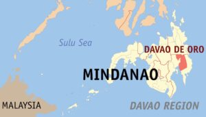
An earthquake with a magnitude of 5.5 jolted 196 km SE of Sarangani, the Philippines on Saturday, the US Geological Survey said.
According to the organisation, the epicentre laid at a depth of 41.9 kilometres.
No reports of damages or casualties, as well as a tsunami warning, have been available yet.
Full story: sputniknews.com
Sputnik International