Strong earthquakes hit Molucca Sea, Halmahera in Indonesia
A strong and shallow earthquake registered by the USGS as M6.9 hit the Molucca Sea, Indonesia at 15:08 UTC on July 7, 2019. The agency is reporting a depth of 36.3 km (22.5 miles). EMSC is reporting M6.9 at a depth of 20 km (12.4 miles).
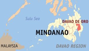
The epicenter was located 135 km (84 miles) WSW of Ternate (population 101 731) and 153 km (95 miles) W of Sofifi (population 36 197), North Maluku, Indonesia.
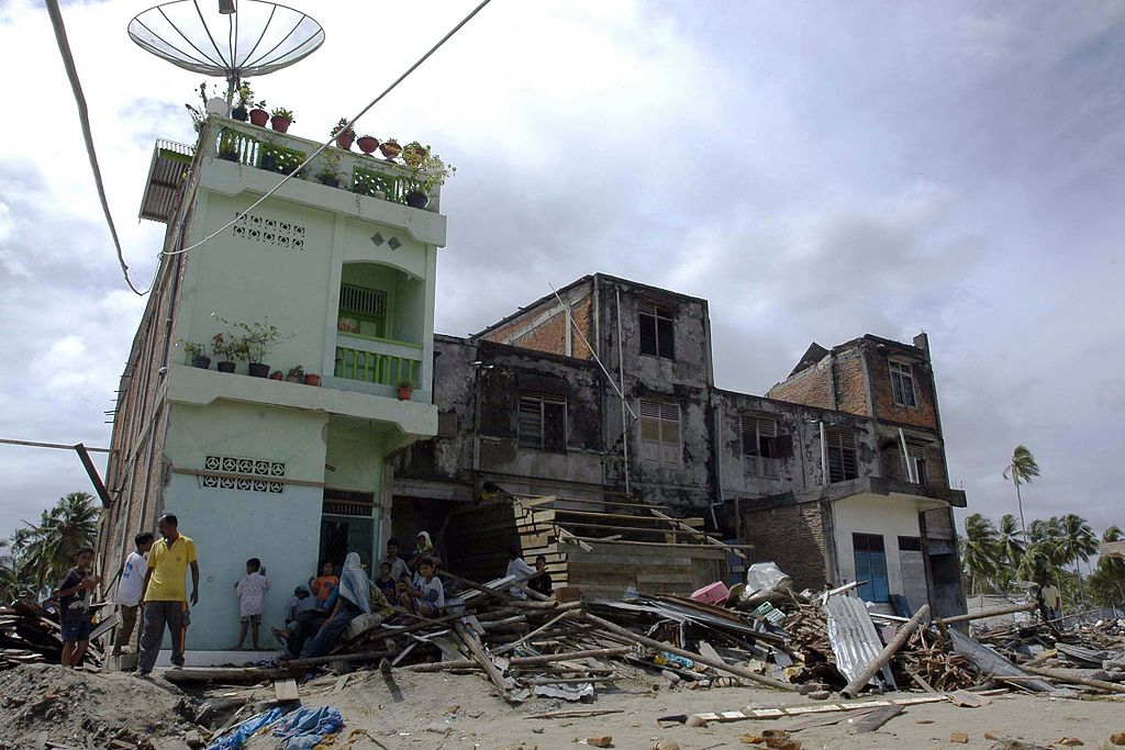
BMKG issued a tsunami warning, predicting waves of 50 cm (1.6 feet) for parts of North Sulawesi and North Maluku.
Full story: watchers.news
Powerful M7.3 earthquake hits Halmahera, Indonesia
A very strong and shallow earthquake registered by the USGS as M7.3 hit Halmahera, Indonesia at 09:10 UTC (16:10 WIB) on July 14, 2019. The agency is reporting a depth of 10 km (6.2 miles). Indonesian BMKG is reporting M7.2 at a depth of 10 km (6.2 miles).
The epicenter was located 152 km (94 miles) SSE of Sofifi, North Maluku and 164 km (103 miles) SSE of North Maluku, Indonesia.
There are about 83 000 people living within 100 km (62 miles).
Full story: watchers.news
The Watchers